Two Worlds, One Platform
Our platform tackles both the digital and physical sides of construction. On the digital side, we integrate with the apps you already use—everything auto-syncs so you don’t have to lift a finger.
Capturing the physical world, however, requires multiple steps—and too many steps mean no adoption. We found that existing solutions simply couldn’t match our use case.
- 360° Cameras: Quick at first glance, but they often require extra manual work—labeling files, attaching documents, selecting projects, and more due to hardware limitations.
- LiDAR Scans: Incredibly accurate, but they demand specialized software, heavy training, and come with a steep price—too slow and costly for everyday use.
- Drones: Geo-located images and point clouds, but often limited in detail and practical usage—really only viable for large-scale outdoor projects.
Our Solution: Dedicated Hardware
We built a one-button capture device that pairs robust hardware with a user-friendly platform. Its key components include:
- LiDAR Scanner with a large field of view (40m range, ±2cm accuracy)
- Cameras for capturing and overlaying visual data
- RTK for absolute positioning on a world map
Everything is preconfigured no training required. Just click the button and walk.
With costs comparable to standard 360° cameras, anyone can use it.
We plan to release this hardware at around €2,000—five times more affordable than most comparable solutions.
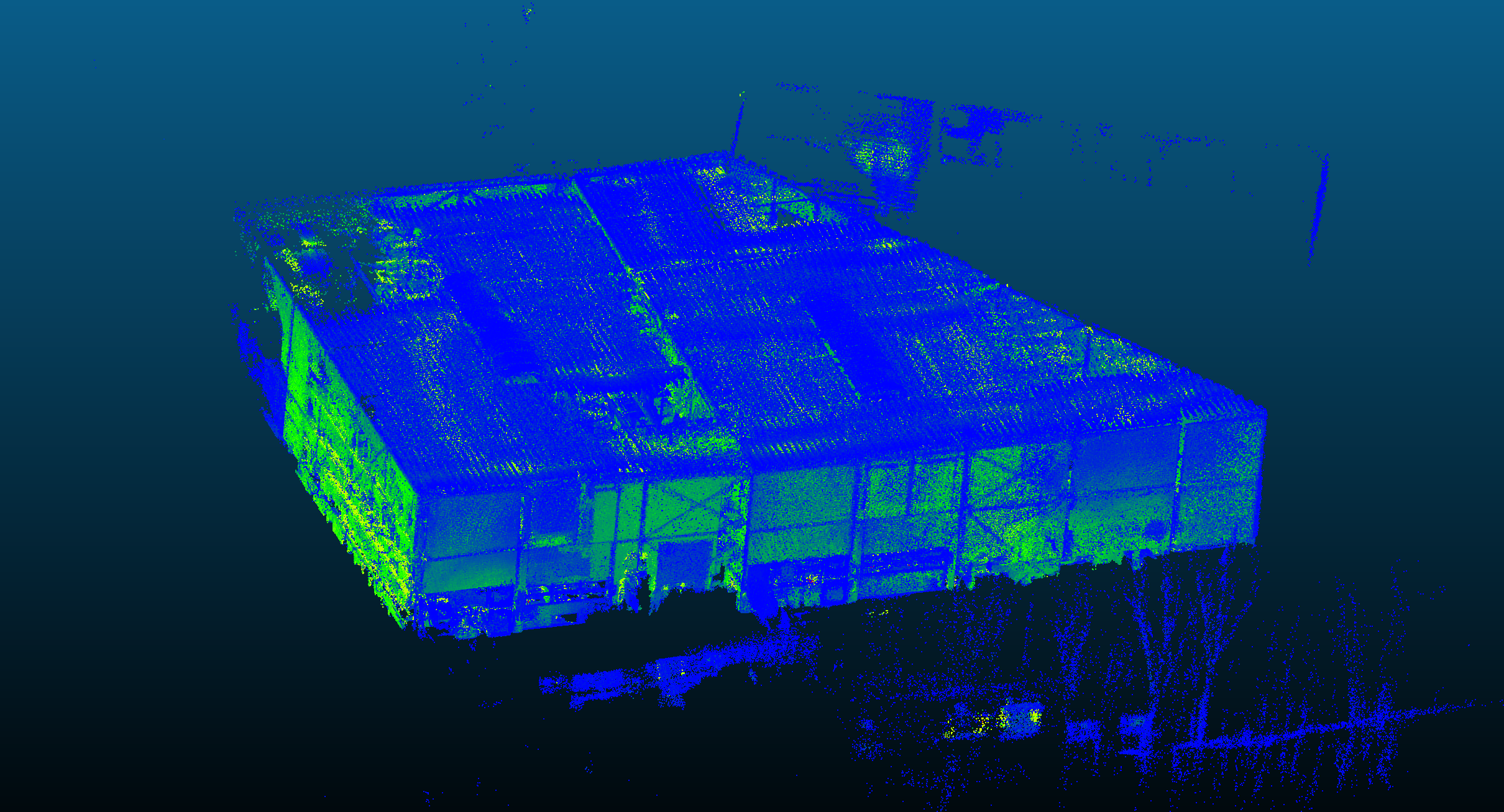
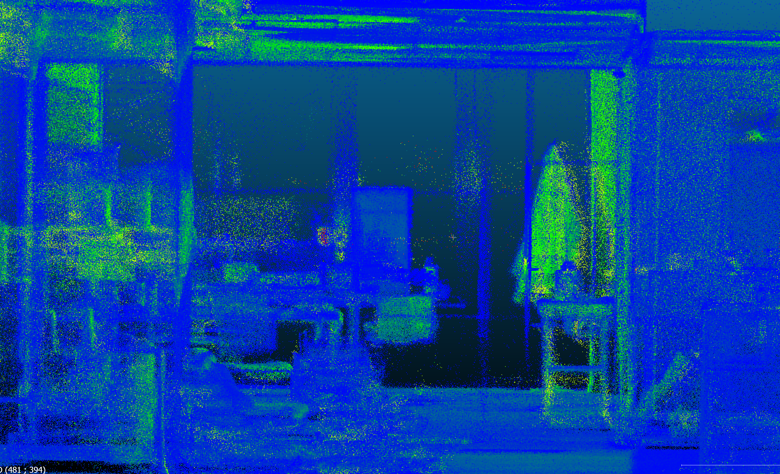
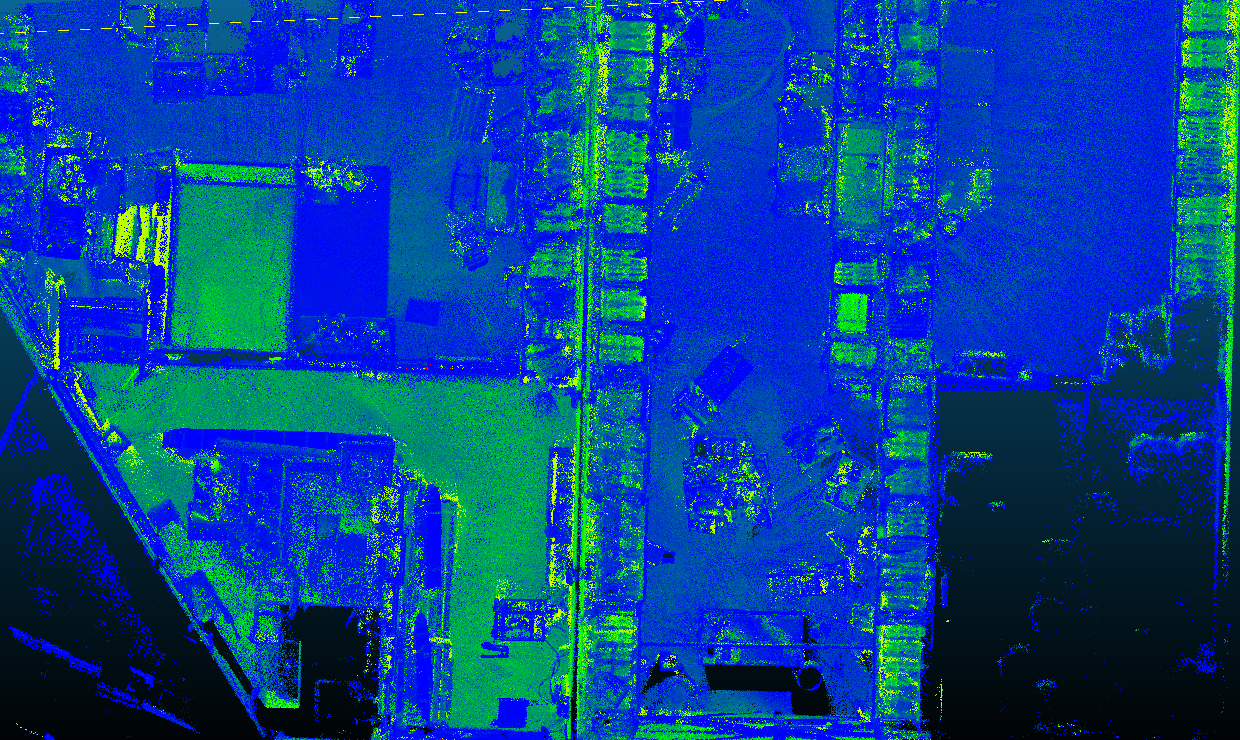
Below, you can see images from our first test: 800 m² scanned in under 7 minutes—just by walking through.
More updates combining the different sensors coming soon!


